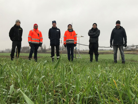
Researchers of the Department of Applied Physics at the University of Eastern Finland and Natural Resources Institute Finland (Luke Maaninka) unite their forces in a project started in 2021. Their aim is to develop a new method for measuring greenhouse gas balances in agricultural fields.
The new method is based on laser measurements and tomography, or cross-sectional imaging, which allows for monitoring the greenhouse gas exchange and evolution three-dimensionally.
Twelve percent of greenhouse gas emissions in Finland are caused by agriculture; if the effect of the land use is also accounted for, the greenhouse gas load of the Finnish agriculture is almost doubled. Farm management practices – including selection of plant species, fertilization, the use of organic fertilizers and water table manipulation in organic soils – can be used for lowering the emissions caused by plant production and reducing its carbon footprint.
Reliable greenhouse gas flux measurement methods are needed to verify the effect of agricultural practises on the gas exchange. With a suitable method, we can see when the field was a sink or a source of the greenhouse gases at different phases of crop production and link that information to the farming practises.
Greenhouse gas measurements in the field
The currently used methods for the greenhouse gas balance in field conditions are the pointwise chamber and the ecosystem-scale Eddy covariance (EC) techniques. Both have their advantages and limitations: The chamber measurements are simple and robust; they provide data from a limited area of the field only and data collection using them is time consuming. EC method, on the other hand, enables continuous monitoring but the method requires expensive instrumentation and special knowledge on data processing and data interpretation. In addition, as the EC method provides an average whole ecosystem level information, it does not account for the small-scale spatial variation in soil characteristics and processes.
Nowadays, chamber measurements and EC method are used in parallel, to get information on both the temporal evolution of the greenhouse gas balance in the field level and its spatial variation. However, new measurement techniques would be useful – especially if they could give more versatile information on the spatial and temporal changes of the greenhouse gas balance.
Tomography – Cross-sectional imaging
Tomography is well-known for its medical applications. Indeed, magnetic resonance imaging and x-ray computerized tomography -based images pop up regularly in TV series, and more importantly, they have also helped physicians in real hospitals for decades. In the joint research of UEF and Luke, tomographic imaging will be brought to a new environment: agricultural field.
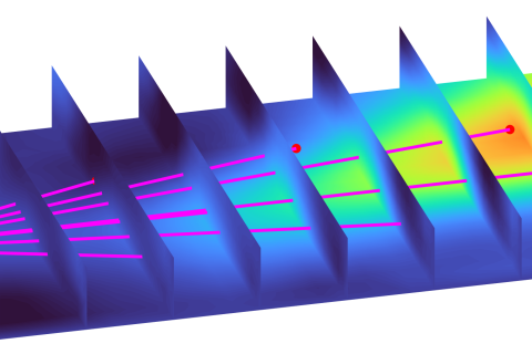
The researchers aim at determining the greenhouse gas balance using a laser-based imaging technique referred to as laser dispersion tomography. This new cross-sectional imaging modality utilizes mathematical modelling and so-called inversion methods. With the aid of mathematical methods, laser measurements are converted into tomographic images, or maps, which reveal the sources and sinks of the greenhouse gases at different instants of time. In the beginning of the research, tomography is developed and applied to determining carbon dioxide and methane balances. In the next stage, the technique will be extended to monitoring nitrous oxide – the majority of emissions of this greenhouse gas are caused by the agriculture.
If successful, the new technique will enable long term monitoring of greenhouse gases in field conditions and allow for mapping continuously field areas of tens of hectares. Most importantly, tomographic mapping enables determining greenhouse gas balance maps that are spatially varying.
Associate professor Aku Seppänen, Department of Applied Physics, coordinates the joint project of University of Eastern Finland and Natural Resources Institute Finland. The project entitled “Tomography in the field – new monitoring method for the effects of farming management on the greenhouse gas balance in agriculture” was awarded a grant of 393,000 euros by The Regional Council of Pohjois-Savo for years 2021-2023 from European Union’s React-EU programme. The project is also partnered by Yara Suomi Oy, Valio Oy and MTK Pohjois-Savo.
Further information:
Aku Seppänen, Associate Professor, Department of Applied Physics, University of Eastern Finland, 040 7405624, Aku.Seppanen(a) uef.fi
Perttu Virkajärvi, Principal scientist, Natural Resources Institute Finland, Maaninka, 029 5326641, perttu.virkajarvi(a) luke.fi


