Drones have quickly become a widely used tool for forest mapping, but traditional field work still maintains its footing. By combining different types of data, it is possible to find the most cost-effective method for forest inventory.
“Last summer, we conducted measurements in sites located in Liperi, Heinävesi and Outokumpu here in eastern Finland. We already had pre-existing data from these sites, thanks to measurements conducted three years ago. In addition to trees that had already been measured, we also measured all new trees with a diameter at breast height of five centimetres or more,” forestry student, Research Assistant Janne Toivonen says.
Although new methods are becoming available, traditional field measurement methods nevertheless remain.
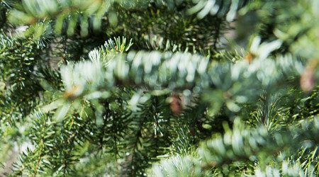
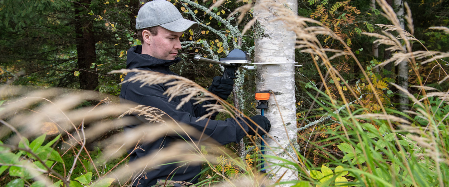
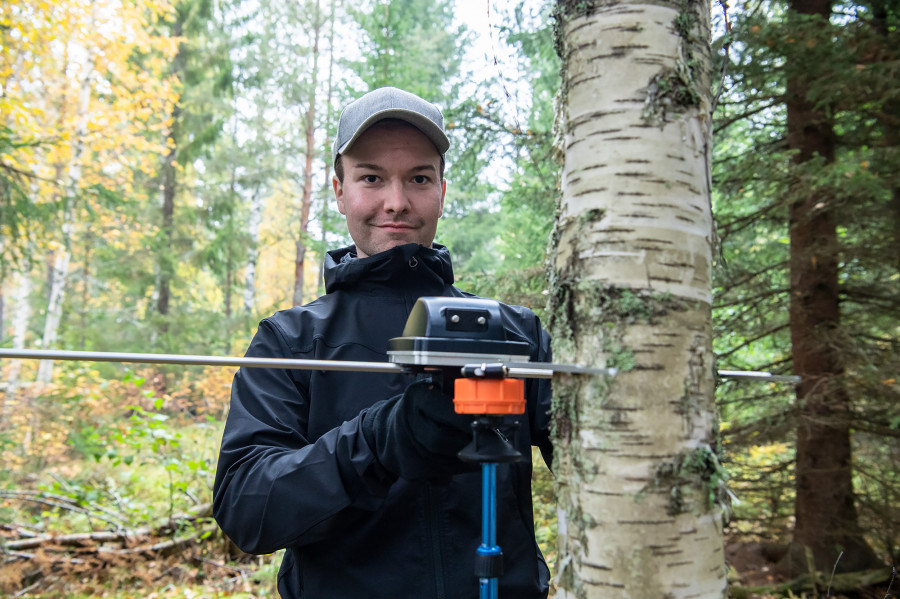
“We examined forest stand sites of 30 x 30 metres in size, and measured all trees for their diameter and height, and determined the different tree species. Height was measured using the Vertex hypsometer. On some sites, we also determined height to crown base.”
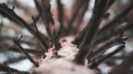
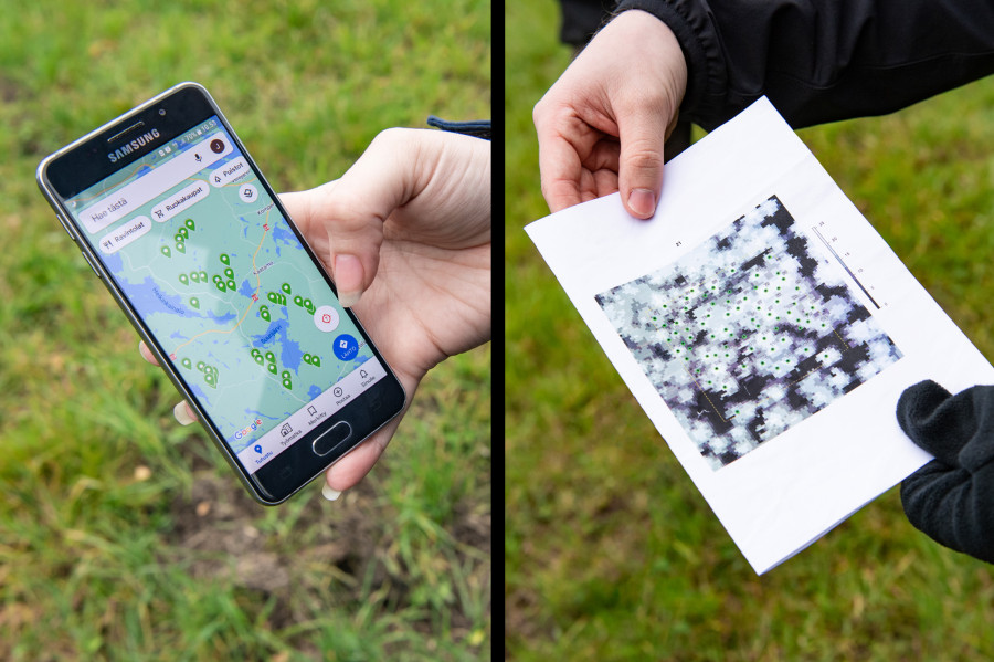
First, researchers navigated to the centre of the site and identified each tree that was to be measured utilising a preliminary map of trees based on airborne laser scanning data. These trees were tagged with a piece of paper. On each site, one of the researchers would get on their knees and aim their camera upward, taking photos of trees at a four-metre interval, resulting in 49 photos per each site.
“This measurement method is used to determine canopy cover. One researcher was responsible for photography, while two others measured the trees.”
“Taking measurements of trees is bread-and-butter field work, and this is how it has been ‘always’ done,” Toivonen says.
The researchers worked on a couple of sites in different types of forests each day, conducting measurements on four days a week. On some sites, there were fewer trees to measure, sometimes just 20–30, while other sites had up to 150 trees.
“At the end of each day, we updated information about the sites we had measured in Google Maps, allowing everyone to see the progress of our work.”
Remote sensing has long been conducted from airplanes and is thus well suited for the mapping of large forest areas. In recent years, drones have gained popularity in the mapping of smaller areas.
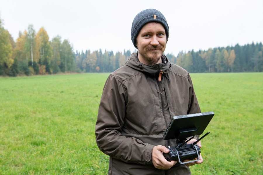
“A typical size of a forest estate is around 50 hectares. Using a drone to measure an area of this size could be more cost-effective than traditional inventory methods conducted in the field. In our ongoing study, we are validating methods for this type of forest inventory. The ultimate idea behind the development of different models is their transferability, i.e., the ability to apply an existing model in a new inventory site,” Postdoctoral Researcher Mikko Kukkonen says.
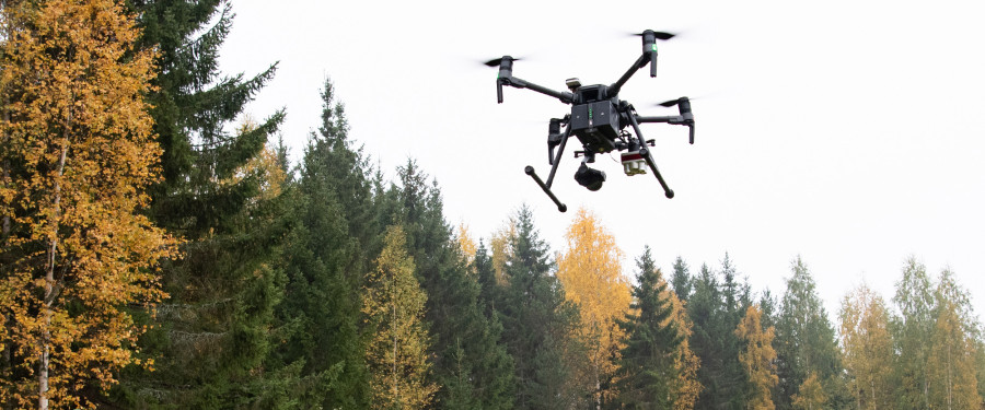
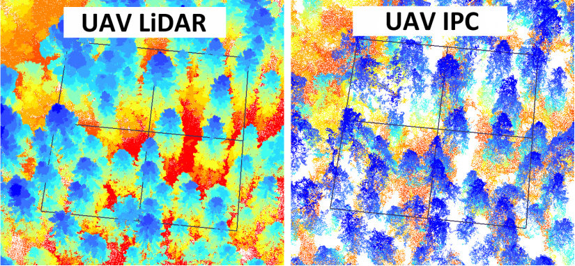
The study used two different drones: one was used to collect laser scanning data from the field plots, and the other was used to take photos with an RGB camera in the visible wavelength range, and a camera capturing both the near infrared and visible wavelength ranges.
“Thanks to the irradiance sensor in the drone, it is possible to take the different lighting conditions of different times into consideration in modelling.”
This technology is evolving rapidly, but its more widespread introduction is hindered by both price and short battery life.
“The battery life of our drone was only 25 minutes. So, we need to have plenty of batteries with us, and it’s also important to be able to charge them in the field. For that purpose, we have a generator,” Kukkonen says.
“We also need to take legal aspects into consideration. Currently, the maximum altitude allowed for drones is 120 metres.”
Remote sensing traditionally also requires local training data in order for researchers to know what kind of forest the image point cloud describes.
“These types of model-based predictions always contain errors. A typical prediction error for tree volume is around 20 per cent,” Kukkonen points out.
However, predicting tree volumes isn’t the only target of interest.
“In addition, it is essential to determine different tree species in remote sensing-based forest inventory. This cannot be done with laser scanning data alone, and this is why we need a multi-spectral camera.”
“In Finland, it is important to determine different tree species for the purposes of forest management, and also for the mapping and conservation of biodiversity-rich old forests, for example. In the future, artificial intelligence and machine learning can help to predict tree species, but researchers will have to spend time in forests, too.”
“The best thing about being a forest scientist is that I get to study something that I find both interesting and important.”
Mikko Kukkonen
Postdoctoral Researcher
The measurements were conducted as part of a larger Academy of Finland project, which seeks to develop cost-effective methods for drone-based forest inventory. The project is carried out in collaboration between the School of Forest Sciences and various national and international partners.
3D Forest Remote Sensing Lab can be found on Twitter @3dForeLab